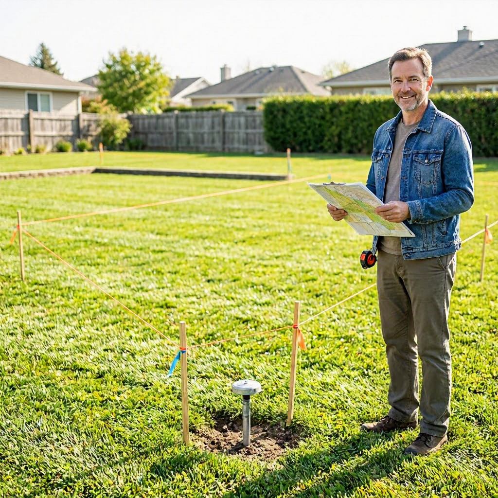
Property line dispute: how to find and prove the line
Understanding Property Line Disputes
Property line disputes happen when neighbors disagree about where one yard ends and another begins. This can lead to arguments over fences, sheds, driveways, or landscaping that crosses what one person believes is the boundary. In the United States, these issues often stem from unclear deeds, old surveys, or changes to the land over time.
These disputes can escalate if ignored. A neighbor might build on what you think is your land, or you might face demands to remove structures. Early steps to identify the true line can prevent costly fights. This is general information, not legal advice. Rules vary by state, county, and local court.
Why Property Boundaries Matter
Clear boundaries protect your property rights. They affect what you can build, plant, or maintain. Encroachments, like a fence inches over the line, can lead to adverse possession claims in some states, where long-term use might transfer ownership.
Local zoning laws often tie to setbacks from property lines. Violating them risks fines or removal orders from your city or county building department. Insurance may not cover damage from boundary errors. Check your deed first and verify with official records.
Start with Your Own Documents
Gather what you have before digging deeper. Look for your property deed, which describes boundaries using metes and bounds or lot numbers. It might reference a plat map or prior survey.
Review your closing paperwork from when you bought the home. Title insurance policies sometimes include survey endorsements. Take photos of any structures near the disputed area, noting dates. Keep emails or letters with your neighbor about the issue.
Do not rely solely on visible markers like old fences or trees. They shift over time and may not match legal lines. Save copies of everything, including the envelope if you receive mailed notices.
Accessing Public Property Records
Most boundary info is public. Your county recorder's office (also called county clerk or register of deeds) holds deeds, easements, and surveys. Many offer online searches for free or a small fee.
How to Search County Records
- Find your county's website by searching "[your county] recorder" or "[your county] property records."
- Enter your address or parcel number, found on tax bills.
- Download recorded documents like deeds and any attached surveys.
The county assessor's office provides tax maps, which show approximate lines but are not precise. They help locate your parcel ID. Fees for copies range from $1 to $10 per page in many areas. Print and organize what you find.
If online access is limited, visit in person or call. Ask for help locating boundary-related filings. Note the date, time, and name of staff you speak with.
Plat Maps and Subdivision Records
Plats are official maps from when land was subdivided. They show lot lines and dimensions. Recorded with the county, they often include bearings and distances.
Search for the subdivision name in recorder records. City planning departments may have copies. These maps confirm lots but might need a survey for exact stakes. Compare them to your deed description.
Existing Surveys: What to Look For
A survey is the gold standard for proving lines. Past owners may have filed one. Check recorder records for "survey" or "boundary survey" under your property or neighbors'.
Types include:
- Boundary survey: Marks corners with pins or monuments.
- ALTA survey: Detailed for lenders, shows encroachments.
- Improvement survey: Locates structures relative to lines.
If found, note the date and surveyor. Older surveys (over 10-20 years) may need updating due to land shifts. Share copies with your neighbor if amicable.
Hiring a Licensed Land Surveyor
For proof, hire a professional. Licensed surveyors use GPS, total stations, and records to stake lines accurately. Expect costs of $500 to $2,500 for a boundary survey on a standard lot, depending on size and location.
Steps to Hire One
- Verify licenses via your state board of professional surveyors (search "[state] board of licensure for engineers and surveyors").
- Get 3 quotes. Ask for references and proof of errors and omissions insurance.
- Provide your deed and records. Request a record of survey to file with the county.
The survey creates a legal document. It might resolve disputes without court. Rules on surveyor qualifications vary by state. This is not a recommendation to hire; check local requirements.
| Step | What to Do | Why It Helps |
|---|---|---|
| Research surveyors | Use state licensing board and reviews from Angi or Better Business Bureau | Ensures licensed pros who follow standards |
| Prepare documents | Gather deed, tax map, plat | Speeds process, lowers cost |
| Review contract | Confirm deliverables like map, stakes, filed record | Protects against incomplete work |
| After survey | File with county recorder if required | Makes it official record |
Gathering Evidence Beyond Surveys
Build a file of supporting proof. Photos of stakes, fences, or utilities help. Utility locates (call 811) show easements.
Neighbor statements or affidavits from long-time residents can corroborate. Old aerial photos from USGS or Google Earth (historical views) visualize past lines. Keep GPS readings if you mark spots.
If trees or walls are involved, note species and ages. Do not alter the land during disputes. Document communications in writing.
Common Signs of Boundary Issues
Watch for:
- Fences not matching records.
- Shared driveways without easements.
- Utility poles or sewers crossing lines.
- Differing lot sizes on tax assessments.
Measure roughly with a tape or app, but note it's not official. Compare to records.
Approaching Your Neighbor
Talk calmly before escalating. Share your deed or survey copy. Propose a joint survey, splitting costs.
Put agreements in writing, notarized if possible. Record boundary line agreements with the county in some states. If tense, use certified mail for records.
Avoid accusations. Say, "I found these records; let's verify together." Keep notes of talks.
When Disputes Escalate
If talks fail, a neighbor might send a notice to quit or sue in small claims or civil court. Read any notice carefully for deadlines, case numbers, and court info.
Do not ignore papers. Respond by the date listed. Courts handle these as quiet title or ejectment actions. Filing fees start at $50-$400, with possible waivers.
Small claims limits vary ($5,000-$15,000 by state). Self-help centers at courthouses offer forms.
Court Preparation Basics
If facing court:
- Organize documents chronologically.
- Bring surveys, photos, records.
- Arrive early; dress respectfully.
- For remote hearings, test tech.
Check your county court's self-help website for local rules. Some states require mediation first.
State and Local Variations
Boundaries follow state property laws. For example:
- Riparian rights affect waterfront lots differently by state.
- Prescriptive easements need specific use periods (5-20 years).
- Counties set recording fees and survey filing rules.
Search your state legislature site for statutes like "boundary disputes" or "adverse possession." Verify via official sources.
Finding Legal Help
You may need a real estate attorney for complex cases. Initial consults often cost $100-$300/hour.
Free or low-cost options:
- Legal aid via LawHelp.org or lsc.gov.
- Court self-help centers.
- State bar referral services (search "[state] bar lawyer referral").
Prepare questions: "What does my deed say?" "Options for this survey?" Ask about fees upfront.
| Resource | Where to Find | Best For |
|---|---|---|
| Legal aid | LawHelp.org, LSC.gov | Low-income boundary reviews |
| Bar referral | State bar website | Attorney matches, often low-cost first visit |
| Court self-help | County court site | Forms, procedures for filings |
| Title company | Your policy provider | Review for errors (may cover survey) |
Avoiding Scams in Property Disputes
Beware unsolicited offers to "settle boundaries" or survey cheaply. Legit pros do not demand upfront wire transfers or gift cards.
Verify surveyors via state boards. Fake notices may mimic court papers; check court websites for case status. Report suspicions to your state attorney general or FTC.gov.
Document Checklist for Property Line Disputes
Keep these organized:
- Deed and title report.
- Tax bills and assessor maps.
- Recorded surveys or plats.
- Photos/videos of disputed area (with dates, measurements).
- Neighbor communications (emails, letters).
- Utility locates (811 tickets).
- Court notices or filings, if any.
- Surveyor reports and invoices.
Scan and back up digitally. Use folders by date.
Next Steps After Finding the Line
Once proven, update records. File new surveys. Discuss fixes like moving fences amicably.
If encroachments exist, options include easements or buyouts. Consult pros before acting.
Preparing Questions for Professionals
Before calling a surveyor or attorney:
- "Does my deed match records?"
- "What survey type do I need?"
- "Local rules for filing surveys?"
- "Mediation options here?"
- "Cost estimate for my lot size?"
Take notes, get names and confirmation numbers.
Timeline for Action
- Day 1: Gather personal docs.
- Week 1: Check county records online.
- Week 2-4: Order or hire survey if needed.
- Ongoing: Document everything.
Deadlines matter if legal papers arrive. Check notices immediately.
Final Practical Tips
Stay calm; most disputes resolve with facts. Verify all info through county offices or state sites. Do not move markers or build during disputes.
This covers general steps for United States property owners. For your situation, contact local resources. Rules differ by location, so confirm with official sources or qualified help.

About the TDL Expert Panel
TDL Expert Panel · TheDigitalLife Editorial Team
TDL Expert Panel is the editorial team behind TheDigitalLife. The team researches, reviews, and creates practical guides to help everyday readers make better decisions about home repair costs, refunds, AI tools, digital safety, productivity, and useful online resources. Each guide is written to be clear, useful, and easy to understand.